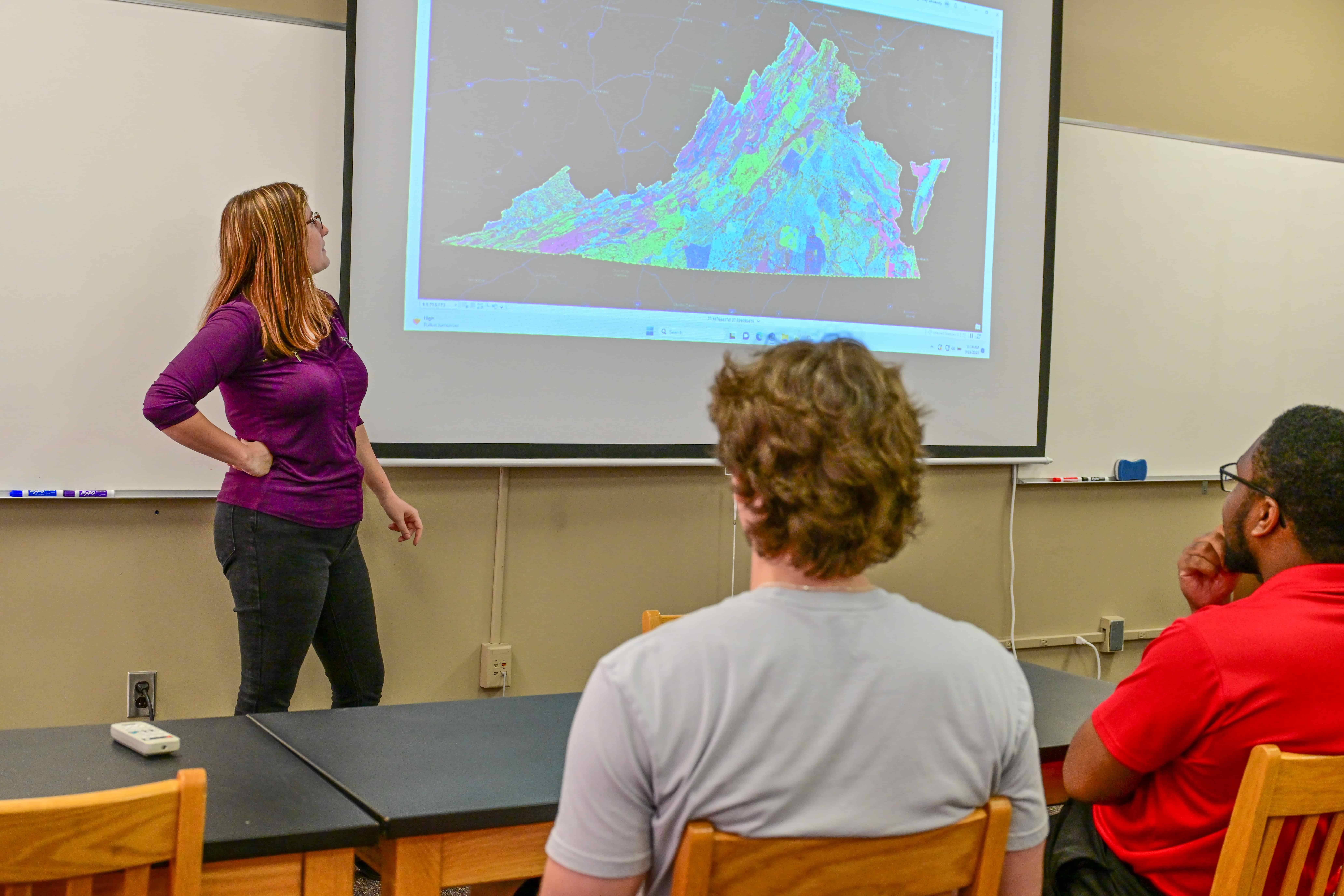
Work with Cutting-Edge Technologies
Develop In-Demand Skills and Prepare for GISCI Certification
GIS Degree Curriculum
GIS Program Locations
Get the flexibility you need by taking GIS courses online or on the Troy Campus. For more information about program availability and delivery options, call 1-800-414-5756
A Hands-On GIS Degree Program
At TROY, you'll gain hands-on experience with industry equipment and real-world experience in geographic information sciences. In the GIS program, you'll have the opportunity to complete a semester of internship or an independent senior GIS project. In either course, you will apply GIS to a problem or situation, developing your skills in problem-solving, research, spatial data analysis and modeling/visualization. You may also have the opportunity to work on externally funded research projects with faculty members part time.

Jobs in GIS
With a bachelor's degree in GIS from TROY, you'll be qualified for GIS jobs in a range of industries — and have an advantage in the job market. TROY's focus on innovative technologies and coursework means you can work in development, government, healthcare, conservation, environmental agencies or countless other fields that utilize GIS.
Faculty Profiles
TROY GIS Degree Concentrations
Surveying and Geomatics Sciences Minor
Gain additional expertise in land surveying, geomatics, hydrology and more. This minor helps you prepare for jobs in GIS and geomatics, such as surveyor, GIS developer and geomatics analyst.
Unmanned Aerial Systems (UAS) Minor
Work with the latest drone technologies to capture geographic data from above and prepare for roles in public health, oil and gas exploration, transportation planning, environmental impact analysis and more.
Geography Minor
More than learning how to find a place on a map, GEOGRAPHY is finding our place in the world. The study of land, people and economics can enhance a variety of careers for which you might be preparing or already working. After all, we all have to live and work in this ever shrinking world.


