Latest News
Geo Day 2025 a Huge Success.
The Geospatial Informatics Department hosted 300 students and teachers on March 13, 2025 for the 6th annual Geo Day. Read more HERE.
Students attend Professional Conference
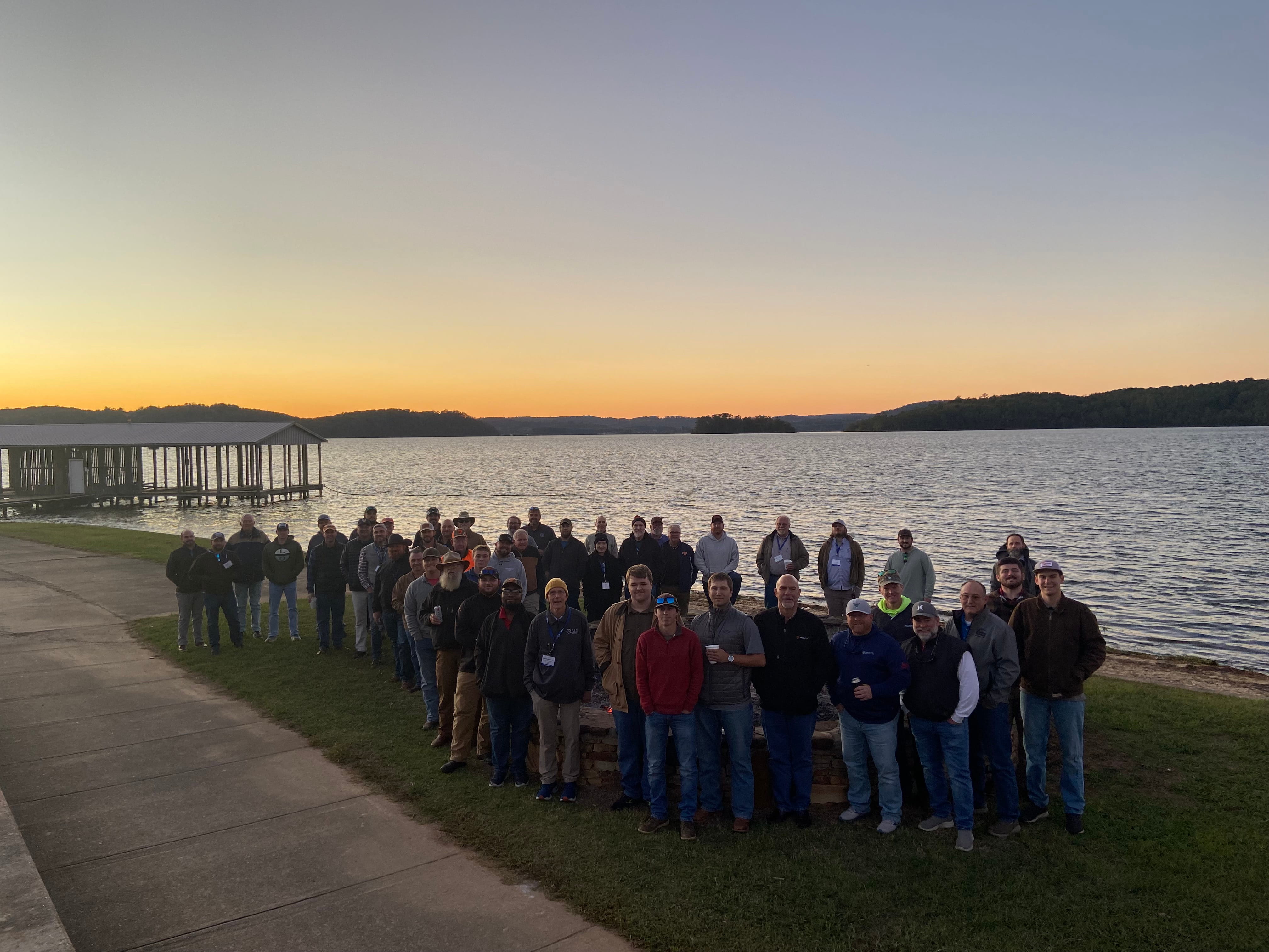
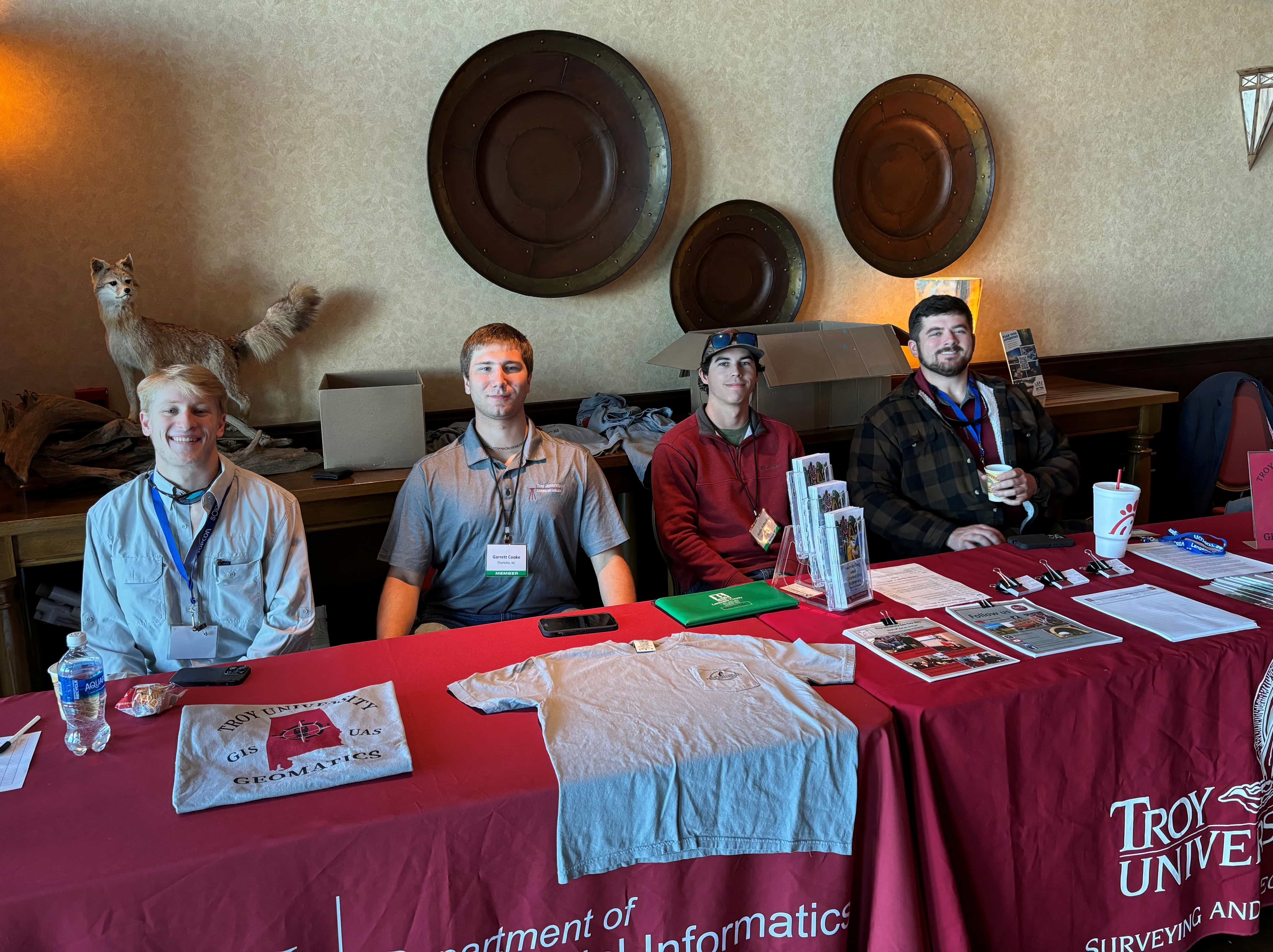
Students and faculty from the Geospatial Informatics Department attended the fall conference of the Alabama Society of Professional Land Surveyors (ASPLS) at Lake Guntersville State Park. Troy has many alumni involved in the ASPLS including its leadership and there is a student chapter of the ASPLS at Troy. This was a great time of networking for our students in the Surveying and Geomatics Sciences Program and Geographic Information Sciences (GIS) major who are minoring in Surveying and Geomatics Sciences. Student chapter members are able to attend free of charge because the ASPLS and companies cover their lodging including meals and conference registration fees are waved. They are investing in those that they hope will take their place in serving Alabama as licensed surveyors.
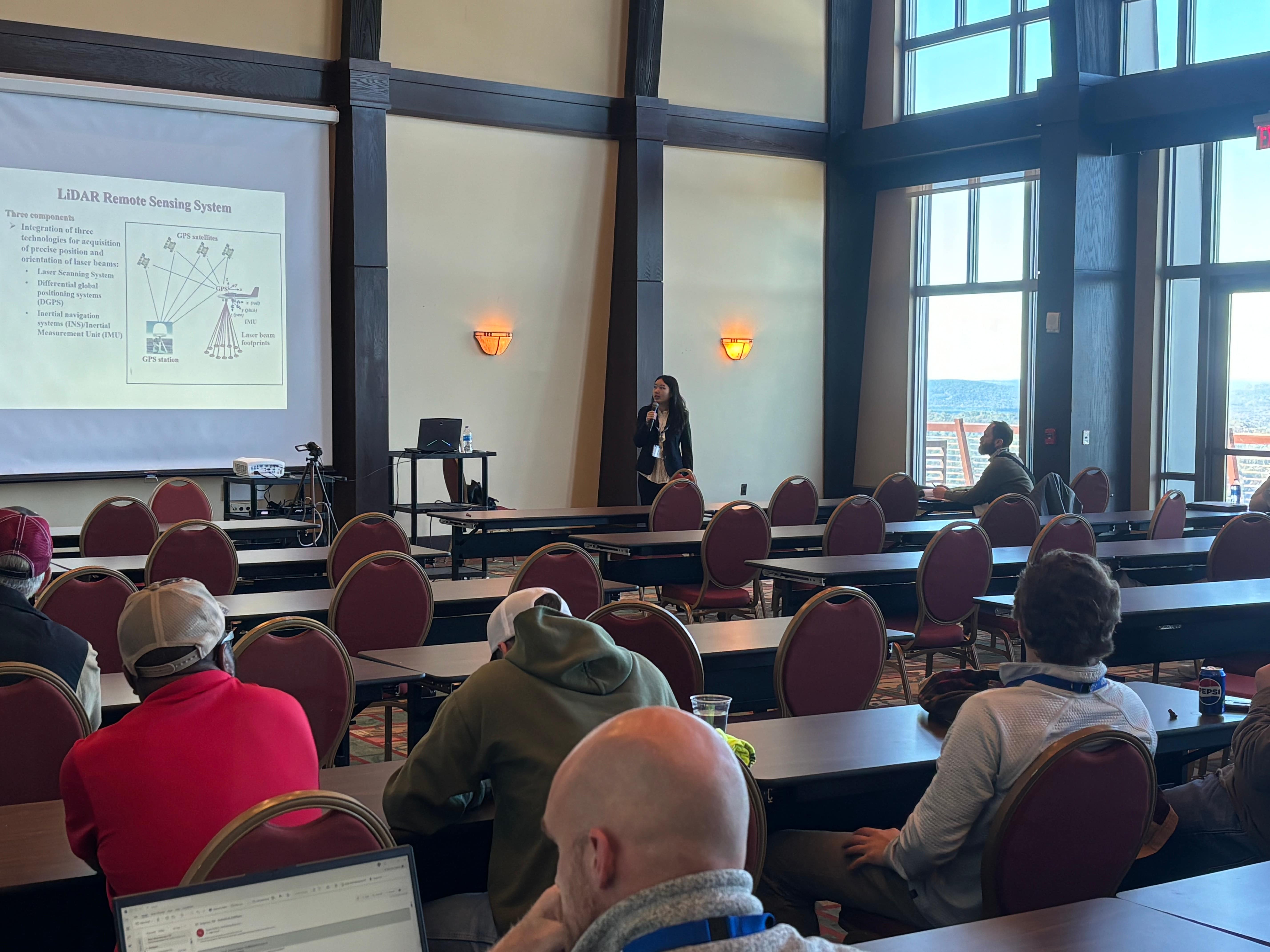
Troy faculty are able to present continuing education lectures for those in attendance. This year Dr. Bill Hazelton presented on Least Squared Adjustment. Dr. Min Xu presented on High-Resolution Surface Mapping with Airborne LiDAR.
This is also a great opportunity for attendees who may not be familiar with Troy's programs to see what is offered and often company owners take information for their employees whom they would like to encourage to pursue a surveying degree.
Surveying and Geomatics Sciences Program wins Surveying Education Award
The National Council of Engineering Examiners (NCEES) has awarded the Surveying and Geomatics Sciences program a $10,000 Surveying Education Award. Read more here
Oyster Habitat Suitability Study
Department of Geospatial Informatics chair, Dr. Xutong Niu, collaborated with Dr. Chris Boyd from the Department of Biological and Environmental Sciences and graduate student Taylor Rose Horn to develop an oyster habitat suitability model for the Choctawhatchee Bay as part of a $114,843 grant from the Choctawhatchee Basin Alliance and Northwest Florida State College. Read more in the article at Troy Today.
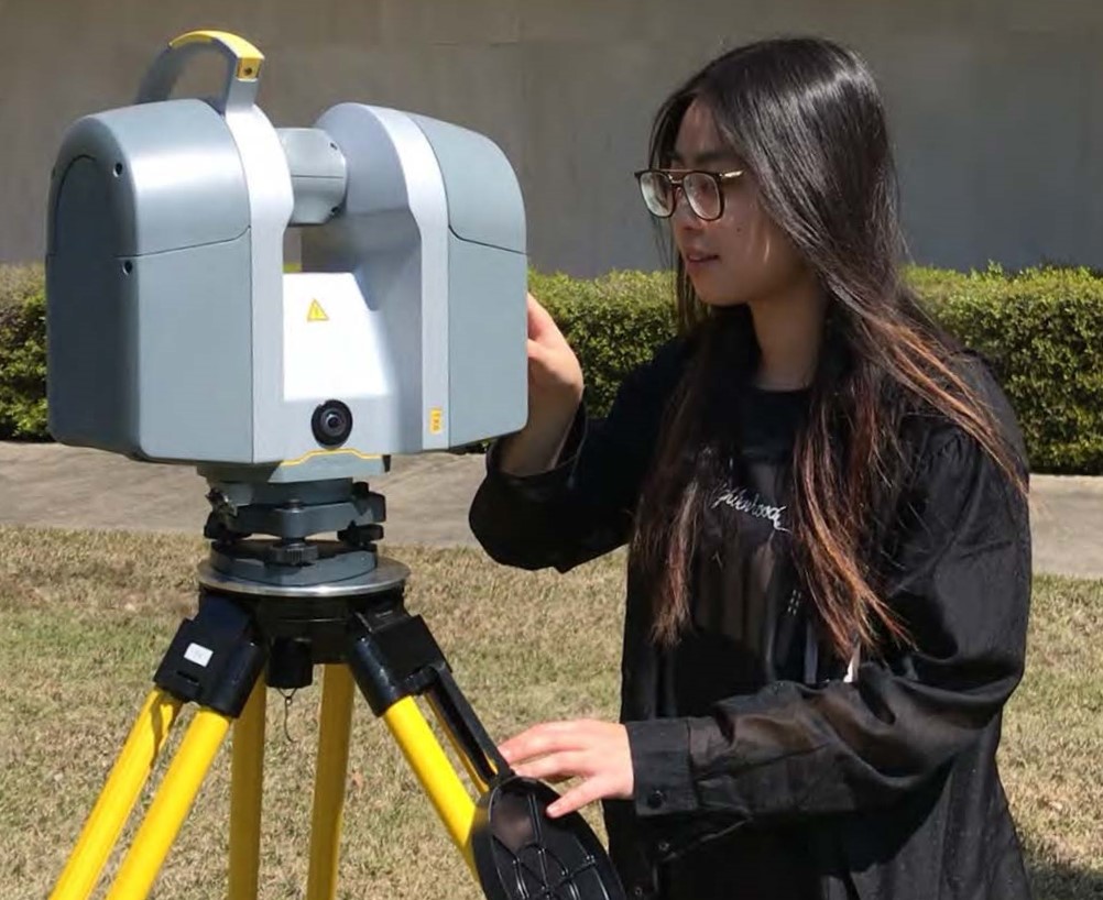
The Geospatial Informatics Department welcomed a new faculty member Fall Semester 2023. Dr. Min Xu comes to Troy from a postdoctoral research position at the University of South Florida, College of Marine Science. She received her Ph.D. degree in Geography from The University of Alabama. Her research interests include environmental remote sensing and Geographic Information Systems (GIS), with a focus on the water quality issues of inland lakes, rivers, and coastal environments. She has published 23 peer-reviewed articles in prestigious journals and was recently granted a U.S. Patent for systems and methods for modeling water quality. Dr. Xu will teach Geography and GIS classes and is a great addition to the Geospatial Informatics team. It is already hard to imagine the department without her.

Troy Geomatics alum Brett Orrell has created a scholarship specifically for Troy students in the Surveying and Geomatics Sciences Program. Brett is a strong supporter of the program and we are very appreciative of this donation. Read more about Brett and the new scholarship.
The Geospatial Informatics Department had its first Geographic Information Science (GIS) graduate, Yitong Wu, May 8, 2020. Read more Here.
